
Fishers Previous Residents by Era
An address trail changes with the period. Modern Property Reports lead to a transfer instrument, while older work shifts to deed books, microfilm, directories, maps, and census schedules. The table shows what each Fishers source can establish. Years are coverage points, not a promise that every address or image appears.
| Source | Years It Covers | Where Held | What It Shows |
|---|---|---|---|
| Hamilton County deeds | 1825 microfilm; current index from February 1947 | Recorder, public terminals, HEPL and State Library | Parties, instruments, legal descriptions, transfers |
| Historic deed indexes and books | Indexes 1870-1963; selected books 1899-1949 | Recorder Historic Search and archives | Backward grantor and grantee links |
| Fishers telephone directories | 1955 and 1956 confirmed | Indiana State Library and HEPL referral | Dated address and telephone clues |
| Hamilton County directories | Runs including 1874, 1893-94, 1907-08, 1920, and 1929 | State Library, Indiana Memory, HEPL, HCHS | Names, trades, addresses, and local context |
| Federal census | 1850 forward, released through 1950 | NARA and HEPL databases | Household and locality at enumeration |
| Permits and code | Current processes; historic span not located | Fishers departments | Dated work or visible-condition records if retained |
Start with the newest reliable record before the target date. If the question concerns the mid-twentieth century, use the deed chain and the confirmed telephone volumes together. For an earlier farm or rural place, the legal description, township, county map, deed book, and census location matter more than a modern house number.
Vital, court, and probate material can close a later gap, but its access rules differ from an open directory. The county microfilm guide lists marriage records from 1833 through 1956, estates from 1829 through 1937, probate from 1822 through 1921, and court material from 1823 through 1928. These sources may explain a transfer between relatives or connect household names. They do not replace the deed chain, and sensitive facts should be kept to the minimum needed for the house or family-history question.
Fishers Names Changed Over Time
Hamilton County was organized in 1823. Fishers began as the railroad stop Fishers Switch in 1872, and the post-office name became Fishers in 1908. City incorporation took effect in 2015. A search for previous residents must therefore allow county, township, post-office, rural-route, and older place labels.
Do not silently replace the printed locality with today's city name. Record the original wording, then explain the modern interpretation and the evidence behind it. An exact legal description and matching neighbor names can support a strong bridge. A similar road name alone cannot.
Trace Hamilton County Deeds Backward
The current parcel is a bridge to older land records. Hamilton County Property Reports supplies the present legal description, parcel identifiers, owner panel, and Transfer History. The recorded purchase instrument then leads to the seller. Search that seller as a prior buyer to continue the chain. Keep spelling variants, instrument type, book and page, and adjacent transactions in view.
- Search Property Reports by address or parcel. Save the situs, mailing address, both parcel numbers, and legal description.
- Open Transfer History and copy the current purchase instrument and transferred-from party.
- Find that instrument through the Recorder search. Check the grantor, grantee, date, book/page or instrument number, and legal text.
- Search the seller as a grantee in an earlier purchase. Repeat while the parcel and legal description still align.
- At the online cutoff, move to Historic Search, the Recorder's public terminal, deed books, the county microfilm guide, HEPL, or the State Library.
- Grantor and grantee
- The grantor transfers an interest; the grantee receives it.
- Chain of title
- The linked sequence of recorded land transfers for the same property.
- Legal description
- The formal land description that can remain useful when a street address changes.
Fishers Deeds Cross an Online Cutoff
The modern online deed index begins in February 1947. Historic deed indexes cover 1870 through 1963, selected deed books cover May 1899 through January 1949, and the county microfilm guide reaches deeds back to 1825. Miscellaneous instruments have different ranges, with current online coverage from 1973 and historic indexes and books from 1914 through 1960.
These overlapping dates are an advantage. Compare an index entry with its book or image rather than assuming all old content sits in one search box. New instruments usually appear online within 24 hours, but not every historic image is promised online.
Access also changes by channel. Tapestry permits free image viewing, while its printed pages are listed at one dollar each after the search charge. Laredo uses subscription access and also lists a per-page print cost. Public computers at the Recorder's office provide an in-person route. A focused copy request should name the instrument, book and page, or other recording reference. Recorder staff will not conduct a broad legal search or give an opinion on title, so carry each verified citation into the next backward search.
Fishers House History at HCHS
The Hamilton County Historical Society's house-history workflow recommends directories, maps, census research, Sanborn material, SHAARD, Indiana Landmarks, and preservation contacts. It is a research-help channel, not a title opinion or a complete resident index.
The HCHS house-history service is the source captured for this page.
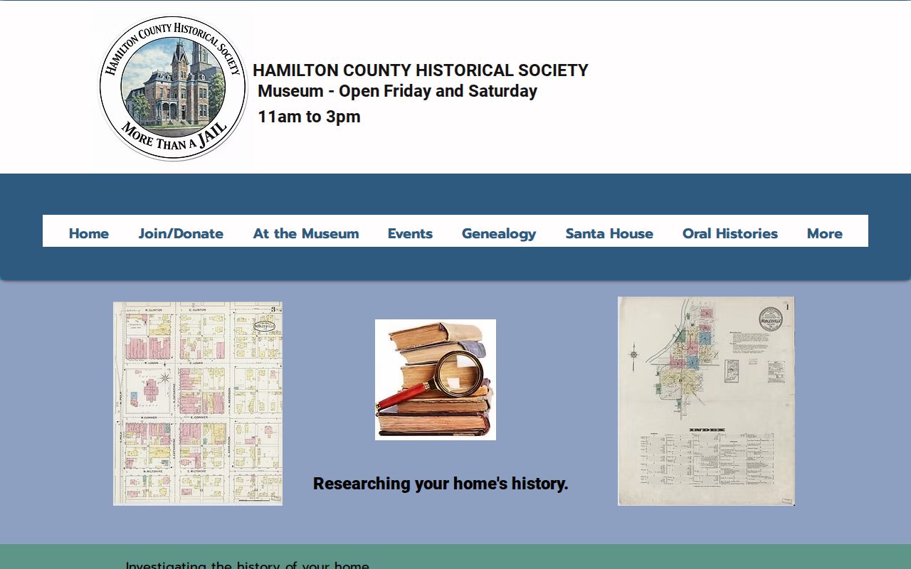
The service page helps route an address from a modern parcel into maps and local sources, while the researcher still records each citation and confidence level.
Map Earlier Fishers Addresses Carefully
County maps from 1825 and 1866 can place roads, townships, and landowners before modern addressing. Sanborn fire-insurance sheets can date structures and blocks where a covered town exists. The research found county-town runs for Noblesville, Arcadia, Atlanta, and Sheridan, but not a complete Fishers-specific Sanborn sequence.
Use those sheets only when the actual title and geography cover the place at issue. Nearby context is not proof. When a historic address will not map cleanly, compare section, township, range, legal description, road names, and neighboring parties. Mark the result exact, probable, or unresolved.
Hamilton County's microfilm guide is the next stop when a web map or deed image ends too soon. Early deed index letters and later numbered indexes are not one seamless search. Check both grantor and grantee forms, spelling variants, township, and nearby landowners, then retain the reel, volume, and page. A county map may place the tract even when no modern house number exists. The resulting bridge should state which facts match and which remain uncertain.
Pair Fishers Directories With Census
Owners are only one part of an address story. A directory may print a resident, spouse notation, trade, telephone number, or owner-renter mark. A census can supply household relationships and the locality used on its enumeration date. Neither should be stretched beyond the year it records.
- Find the address or person in the closest available directory year and copy the entry exactly.
- Check the abbreviation key and note whether the volume is arranged by name, street, or telephone service area.
- Locate the household in the nearest released census using the printed locality, township, street, and nearby names.
- Compare the census and directory dates with the deed chain, map, and legal parcel.
- Label each link confirmed, probable, or unresolved and retain volume, page, reel, and retrieval date.
HEPL offers directories, newspapers, cemetery listings, yearbooks, maps, microfilm, vertical files, and several on-site or cardholder databases. The collection details belong on the Fishers city directory page; here they serve the backward trail for one address.
Close Fishers Household Gaps
Obituaries, newspapers, cemetery sources, probate, estate, marriage, and court records can explain why a name enters or leaves an address trail. Hamilton County microfilm includes estates from 1829 to 1937, probate from 1822 to 1921, marriage records from 1833 to 1956, and early court materials. Each set has its own access and privacy rules.
Ask HEPL or HCHS for the citation when a newspaper, cemetery listing, yearbook, or vertical file supplies the lead. For an official court or probate copy, use the Hamilton County Clerk or courthouse. A certificate system is not an open name directory, and a modern vital record requires the qualifications set by Indiana law.
Access is available through several routes. Indiana Memory and the Library of Congress supply digital images where a collection is online. HEPL and HCHS offer in-person help, catalog and database access, and referrals to physical holdings. The Indiana State Library provides directory and microfilm guides. Hamilton County offices provide public terminals, phone help, and particular record-copy requests. Record the repository, title, date, page or reel, and the date consulted so another researcher can reproduce the trail.
Limits on Fishers Previous Residents
A deed identifies parties to an instrument, not everyone in the home. A directory can omit unlisted people or cover a service area wider than Fishers. Census access follows the 72-year release rule, with 1950 currently available and 1960 scheduled for release in 2032. Modern parcel records may use a tax mailing address different from the property situs.
No complete digitized Fishers criss-cross collection, historic renumbering crosswalk, or Fishers-only Sanborn sequence was located. These are honest boundaries. Previous residents should be reported only when the address, date, and source role align, and an unresolved trail should remain unresolved.
Lawful use. Research Fishers previous residents for house or family history, and never use the results to track, harass, intimidate, or harm a living person.