
Walk a Fishers Street by Address
A useful Fishers street directory begins with the exact place, not a guess about a person. Hamilton County Property Reports can match a partial property or mailing address to candidate parcels. Fishers and Hamilton County GIS then show how those parcels sit along the road. The deed index names parties to recorded land instruments, while a directory or census may supply evidence of an occupant for an earlier date. Ownership and occupancy are different facts, so keep the source date and record role beside every name.
- Enter a partial street or mailing address in Hamilton County Property Reports. Save every plausible parcel, its situs address, and its report date.
- Locate each candidate in Hamilton County GIS or MapFishers. Click the parcel and inspect the address, street, subdivision, ZIP, and adjacent boundaries.
- Open Transfer History. Copy the instrument number and the transferred-from party, but do not treat either as proof of who lived there.
- Follow the instrument into the Hamilton County Recorder index. Search earlier grantor and grantee entries when the goal is a past owner.
- For household evidence, ask HEPL for the relevant directory, newspaper, census, map, or local-history source and record its volume, page, and date.
Search Fishers Parcel Address Fields
The county search accepts more than one type of key. Try a partial property address and a partial mailing address separately, since one may return a parcel located elsewhere. County and state parcel numbers also have different lengths. Preserve the formatted number displayed on the report even if a normalized version works in the search box.
| Fishers search control | Input | What to retain |
|---|---|---|
| Parcel or property number | 16-digit county duplicate or 18-digit state parcel; punctuation is tolerated | Both displayed parcel identifiers |
| Property address | Partial or full street address | Situs address and all candidate reports |
| Mailing address | Partial owner-mail address | Mailing field kept apart from situs |
| GIS search | Address, parcel, owner, or subdivision | Layer date, polygon, ZIP and street context |
| GIS identify | Click a visible parcel | Visible attributes and linked report |
The sample Hamilton County parcel report shows the report layout used for this work.
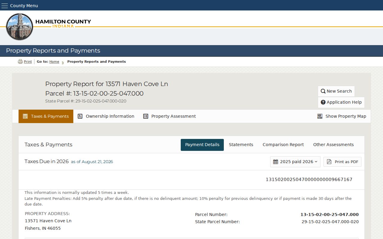
The screen demonstrates why the parcel ID, deeded-owner panel, legal description, transfer history, and report date should be captured as separate facts.
A full report adds several useful checks. Current Ownership carries the legal description and deeded-owner information. Transfer History identifies a date, transfer type, prior party, and instrument reference. The assessment view provides three years of values and property characteristics, while statements and payment details belong to tax administration rather than identity research. Deductions and credits also describe tax treatment, not who occupies the home. Save the report date because ownership data is updated on its own schedule. When more than one candidate appears, compare the legal description and map before selecting a parcel.
Fishers Street Directory Terms
Address records use short labels that can change the meaning of a result. These four terms keep a Fishers street directory from turning a tax or map entry into an unsupported occupancy claim.
- Parcel
- A mapped unit of land with county and state identifiers.
- Situs address
- The address where the parcel is physically located, which can differ from the tax mailing address.
- Plat
- A recorded map that divides land into lots, blocks, streets, or easements.
- Criss-cross directory
- A directory arranged by street or address instead of only by a person's name.
Fishers Records Indexed by Street
No single address source answers every street question. The Fishers street directory works as a chain: parcel reports establish the administrative property record, maps test location, recorded instruments document land interests, and historical sources may show a dated household. Voter access has its own rules and the individual portal cannot browse a whole street.
| Address source | Custodian | Useful evidence | Access route |
|---|---|---|---|
| Property report | Hamilton County Assessor | Owner, situs, mailing, parcel, legal description, transfers | Free web portal, office, phone, or focused APRA request |
| GIS parcel map | Hamilton County and Fishers GIS | Parcel shape, streets, subdivision, zoning, ZIP layer | Web viewers, map print, or custodian request |
| Recorded deeds | Hamilton County Recorder | Grantor, grantee, instrument, book/page, legal description | Fidlar, Tapestry, Laredo, public computers, copy request |
| Voter record | Hamilton County Elections | Public registration and address fields with exclusions | Name/DOB lookup or regulated county request |
| Permits and code | Fishers departments | Dated permits, plans, or visible-condition records if retained | Account submission tools or a particular APRA request |
| Historic directory | HEPL, State Library, HCHS | Dated name, address, phone, or household clues by volume | Library, archive, microfilm, or digitized collection |
APRA allows inspection and copying of existing public records, but an office need not build a new owner list or answer a research question. Ask for a named map, instrument, report, permit, or date range.
Each channel has a fallback. The Assessor can be reached at 317-776-9617 and Real Property at 317-770-4412. Recorder searches are also available on public computers in Noblesville. For older material, HEPL, the Hamilton County Historical Society, the Indiana State Library, Indiana Memory, and county microfilm extend the trail beyond the modern portals. A phone call can confirm current hours or copy procedure, but the resulting record still needs its official citation. If a portal fails, carry the parcel number, legal description, instrument reference, and date to the next custodian rather than beginning again with only a street name.
Separate Fishers Situs and Mailing
A mailing-address hit can point to a different property address. Hamilton County explicitly separates the property or situs location from the deeded owner's mailing address, and it also warns that a deed's tax mailing address is not a mortgage-company address. Institutional and out-of-area owner routes make this distinction especially important.
Copy the situs, owner-mail, legal description, postal city, and ZIP into different fields. Then compare the parcel polygon. That simple discipline prevents a street directory search from placing a household at an address used only for tax mail.
Key distinction. A mailing-address match is a route for correspondence, not evidence that the named person occupies the Fishers parcel.
Compare Fishers Street Map Layers
MapFishers lists parcel, address, street, subdivision, zoning, utility, trail, owner, and parcel-search tools. Hamilton County GIS supplies the countywide view. Search the address, click the target polygon, turn on only the layers needed, and note the retrieval date because map inventories change.
The MapFishers capture failed in the image manifest, so the page does not substitute an unrelated picture. Use the live MapFishers viewer for the current display and the county viewer as a cross-check.
Follow Deeds Along Fishers Streets
Property Reports Transfer History supplies a date, transfer type, prior party, and instrument reference. The Recorder index then identifies the recorded instrument. Current deed coverage begins in February 1947; historic deed indexes cover 1870 through 1963, selected deed books span May 1899 through January 1949, and the microfilm guide reaches deeds back to 1825.
Tapestry offers free image viewing, with printed pages listed at one dollar after its search charge. Laredo is subscription based, and Recorder public computers provide another channel. The Recorder at 33 N 9th Street in Noblesville offers public search on weekdays from 8:00 a.m. to 4:20 p.m. and can be reached at 317-776-9618. Staff do not perform broad title searches or give legal opinions.
A deed image may show names, signatures, addresses, instrument text, and a legal description. Copy only the details needed to connect the parcel. The grantor may be a seller, but could also appear as a trustee, executor, or other party. Likewise, the grantee receives the recorded interest but may never occupy the site. When requesting a copy, give the instrument number or book and page instead of asking staff to reconstruct the full title chain. The county says recently recorded documents are generally online within 24 hours, yet that timing is not a guarantee that every old image is available.
Fishers Streets Cross Postal Lines
City, parcel, county, postal city, and ZIP are overlapping layers, not synonyms. Official Fishers examples show that a municipal address can carry a Fortville or McCordsville postal route. Annexation does not by itself guarantee a new USPS mailing label, so check the specific address rather than assigning a ZIP from the city name.
The Fishers annexation guidance explains the municipal issue behind those mismatches.
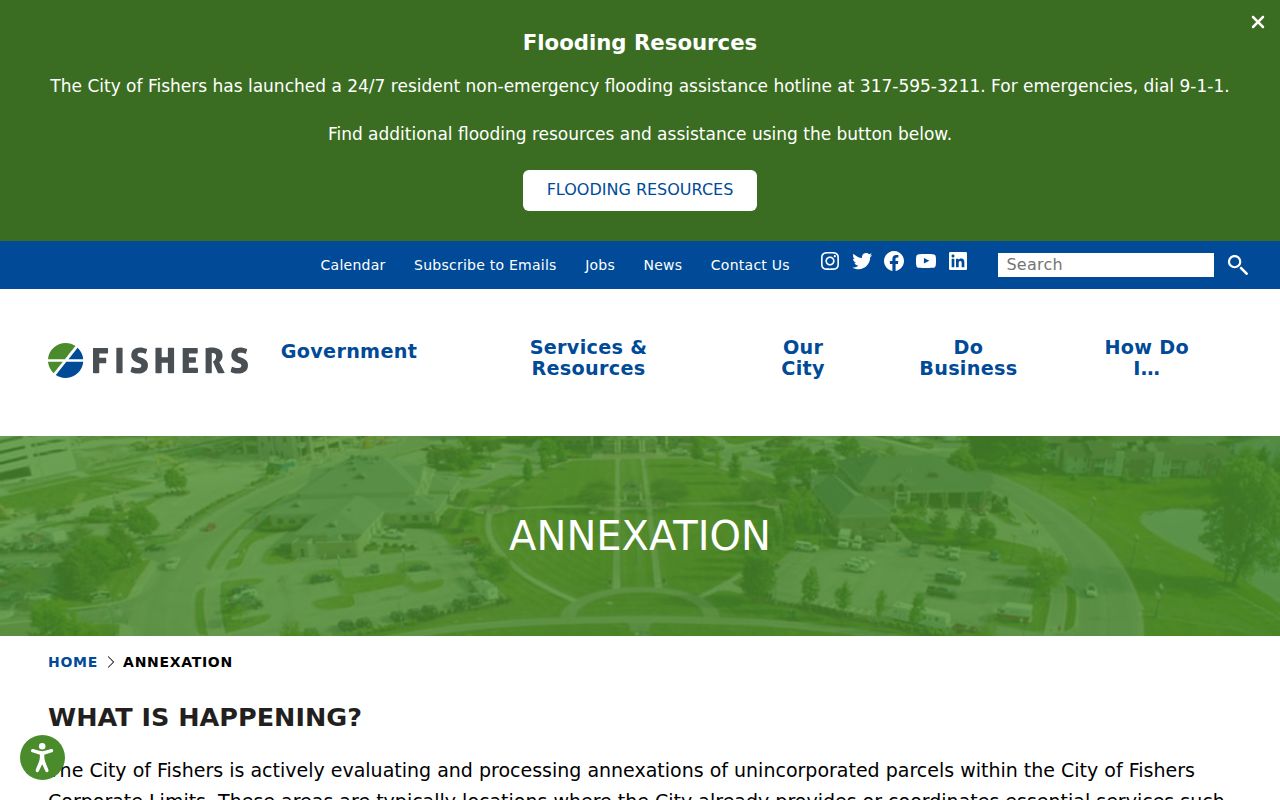
The captured city page reinforces that a civic boundary and a postal route must be checked as separate address facts.
Verify a Fishers Postal Address
After the parcel is fixed, verify the postal side with USPS. The Fishers Post Office detail page is useful for the official local facility and ZIP context, but address-level validation still matters for roads near the eastern service area.
The USPS Fishers Post Office listing is the manifest source for the following reference image.
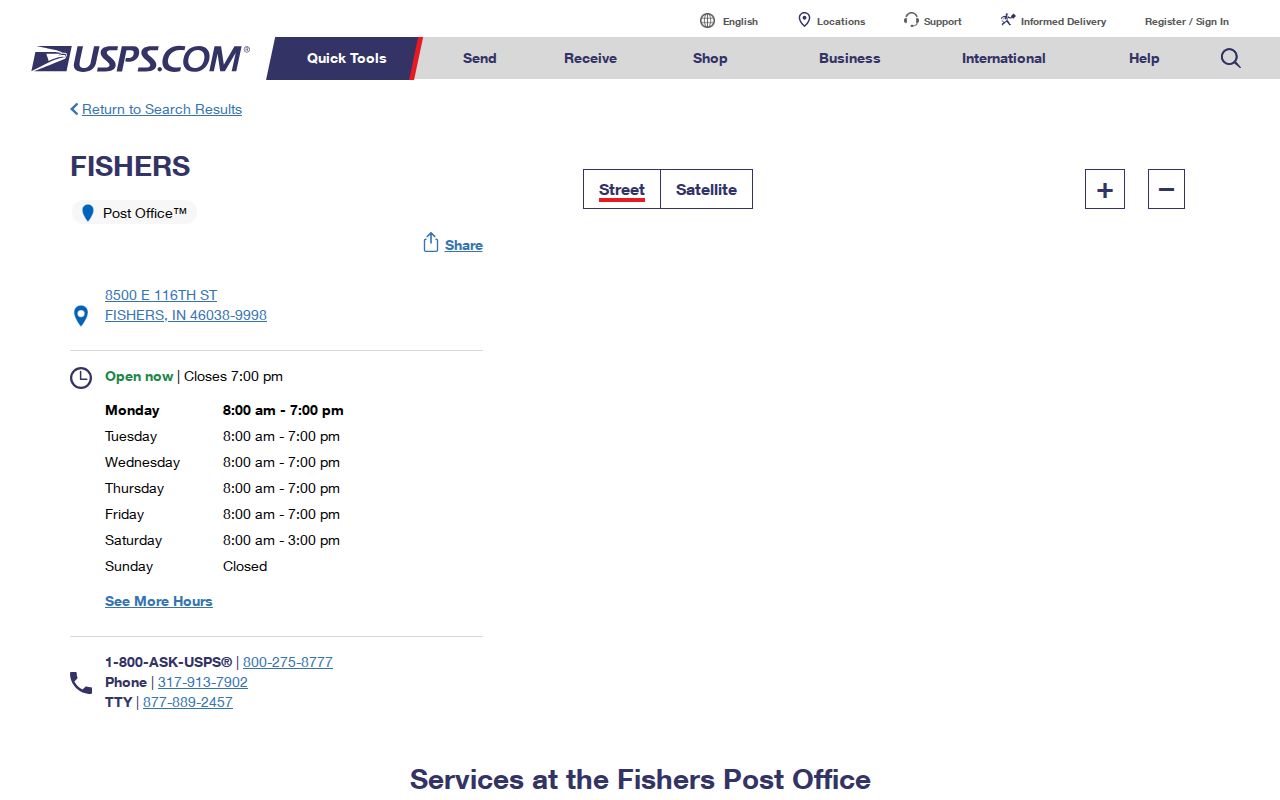
This screen supplies postal-office context, while the parcel report and GIS still control the land and municipal parts of the search.
Request Fishers Addressed Permit Records
Fishers Engineering uses account-based submission tools for permit and plot-plan work. Code Enforcement may retain written reports, photos, notices, or exterior observations tied to an address. Research did not locate a public name-indexed permit or code-case search.
Use a narrow APRA request for an existing record, with the address, record type, and date range. A permit can date work and sometimes name an applicant or owner, but it is not a household roster.
Move the Fishers Street Directory Backward
HEPL's Crossroads Discovery Center combines directories, maps, newspapers, cemetery records, yearbooks, microfilm, vertical files, and research help. The State Library confirms Fishers telephone directories for 1955 and 1956, while Hamilton County and Noblesville runs reach farther back. No complete online Fishers criss-cross run or street-renumbering crosswalk was located.
Ask library staff for a specific volume and cite the page, reel, issue date, and image policy. For a fuller look at the collections themselves, use the Fishers city directory page. When an old address does not match, compare locality name, township, road, legal description, map block, and neighboring names. Mark the bridge exact, probable, or unresolved.
The 1893-94 Hamilton County directory is digitized through Indiana Memory, and the State Library guide also lists county and Noblesville runs including 1874, 1907-08, 1920, and 1929. Those volumes can supply a printed name, occupation, business, address, spouse notation, or telephone clue, depending on the edition. Preserve unfamiliar abbreviations until the volume key explains them. Optical character recognition can misread names and house numbers, so inspect the scanned page instead of relying only on keyword results. A historic directory entry should then be tested against a map, census, or deed close to the same date.
Limits of Fishers Street Records
Parcel cards and deeds do not list every person who lives at an address. A deed proves a recorded land interest on a date, not residence. The Indiana Voters individual tool requires a known name, date of birth, and county; it is not a public street browser. Protected voter addresses, utility customer data, delivery records, and motor-vehicle addresses are also outside a casual street search.
Old directories omit people and can cover a phone service area rather than exact city limits. GIS reflects its layer date. Permit data may require a focused request. A strong Fishers street directory result therefore labels each source, date, and limit instead of merging them into one claimed household.
Lawful use. Use Fishers address records for legitimate personal research, and never use them to stalk, harass, intimidate, or harm anyone.